

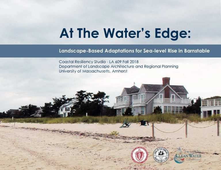
Check out At The Water’s Edge: Landscape-Based Adaptations for Sea-level Rise in Barnstable
Barnstable, Massachusetts is Cape Cod’s largest town located between Mashpee and Yarmouth. The town’s two coastlines, abutting Cape Cod Bay to the north and Nantucket Sound to the south, comprise 170 miles of coastline, and make Barnstable especially, and profoundly, vulnerable to coastal hazards.
Barnstable’s bi-coastal geography increases its risks and vulnerabilities from coastal processes and events including flooding and storm surges. These hazards are not a problem to be solved, but a reality that all coastal communities must accept. During the winter of 2018, Barnstable was inundated by flooding and storm surge by three 100 year storms – also known as a storm with a 1% chance of occuring in any given year. Houses and businesses along coastlines and harbors throughout Barnstable remain highly exposed to these events and make the town vulnerable to future damage and destruction. Coastal communities can no longer fight climate change; they must adapt to its realty.
Stop by our office for a copy of this book.