

Marstons Mills Cranberry Bog Eco-Restoration
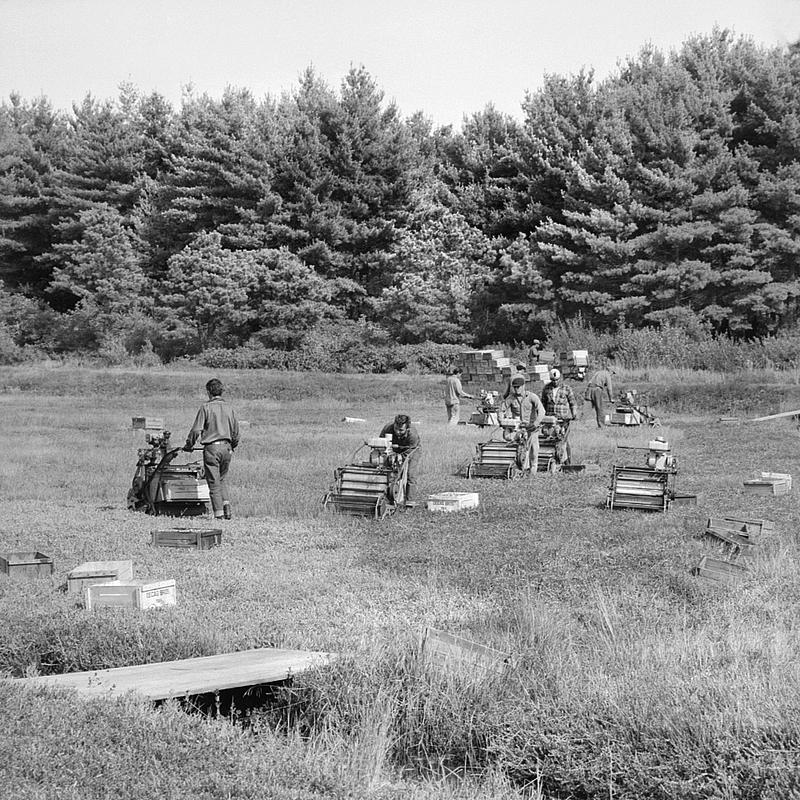
Nestled in the heart of Cape Cod, the cranberry bogs of Marstons Mills have a rich history tied to Massachusetts’ agricultural heritage. Established in the 1860s, these bogs were once a cornerstone of the local economy, producing the tart, red berries that became a hallmark of the region for over 200 years. However, the transformation of natural wetlands into monoculture cranberry farms significantly altered the area’s hydrology and ecosystem as a whole, replacing intricate and diverse native habitats with man-made irrigation systems of ditches and berms. Today, as cranberry farming in the region has declined, efforts are underway to restore some of these lands to their original wetland state, reviving the ecological richness they once supported and enhancing natural nitrogen attenuation, which can reduce nutrient pollution and improve water quality throughout the watershed.
Cranberry History
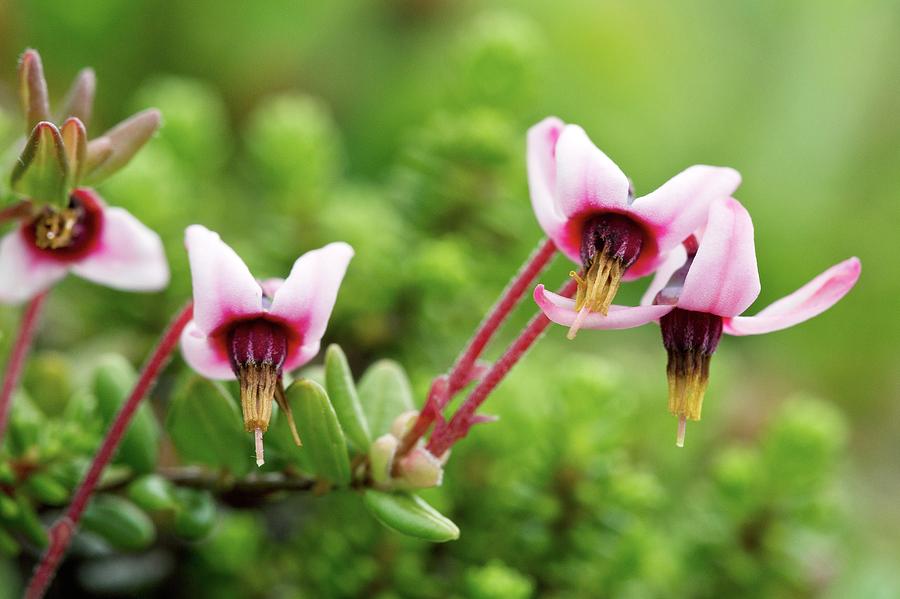
The name “cranberry” is believed to have originated from early European settlers who thought that the low, creeping vines’ tiny, pink flowers resembled the neck, head & bill of a sand crane. The name was originally coined by English Missionary John Elliot in 1647. As a result, they named the fruit “crane berry” which was later shortened to “cranberry”.
Traditionally, the Wampanoag utilized cranberries as a popular source for dyes and medicines. The vibrant, red color of cranberries comes from a pigment called “anthocyanins”. Rich in antioxidants, cranberries’ known health benefits include kidney health and reduced risk of urinary tract infections.
While part of the same family as blueberries, cranberries are not classified as a true berry but rather a fruit. Cranberries have a tart, slightly bitter taste when eaten raw. When sweetened, cranberries have a sweet-tart flavor that has become popular in many dishes and beverages.
Geologically, cranberry bogs owe their existence to the last Ice Age, when retreating glaciers carved out shallow depressions in the surface of the Earth and left behind sandy outwash plains.
Flora and Fauna
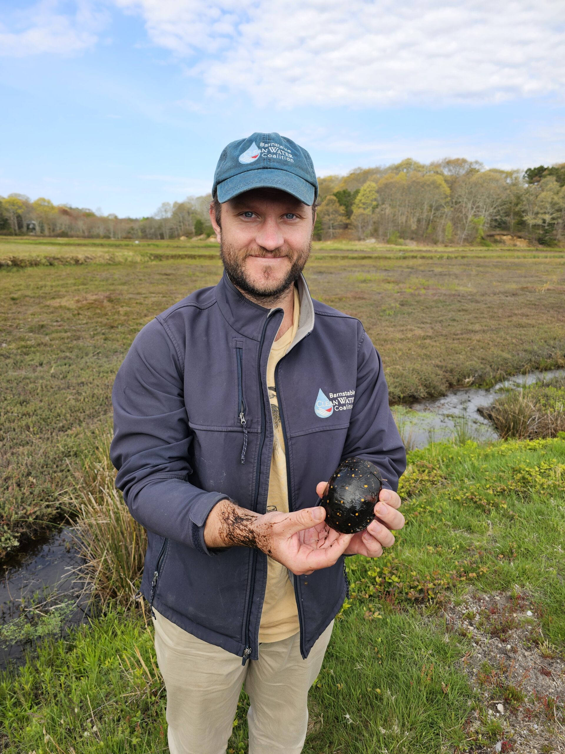
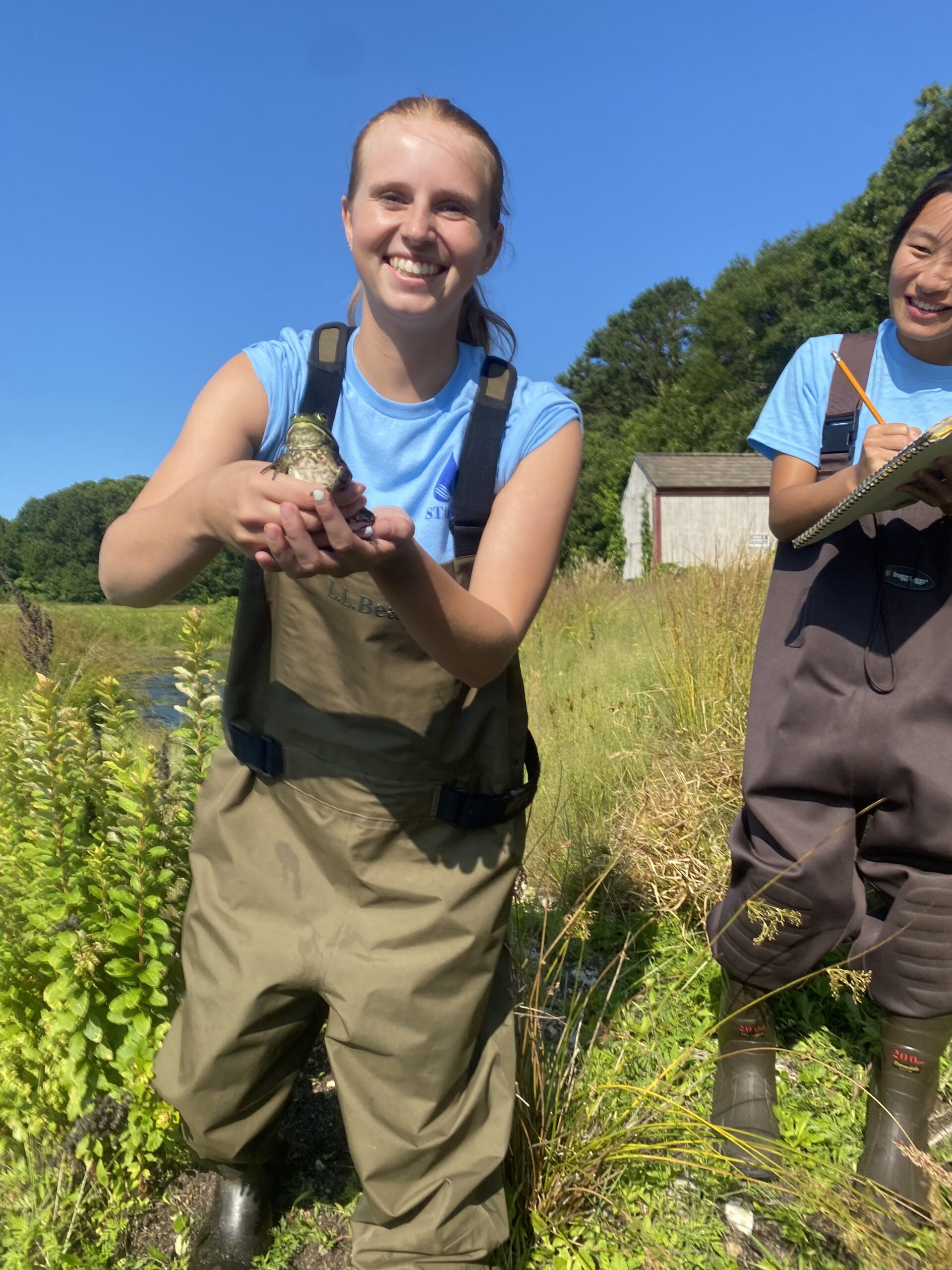
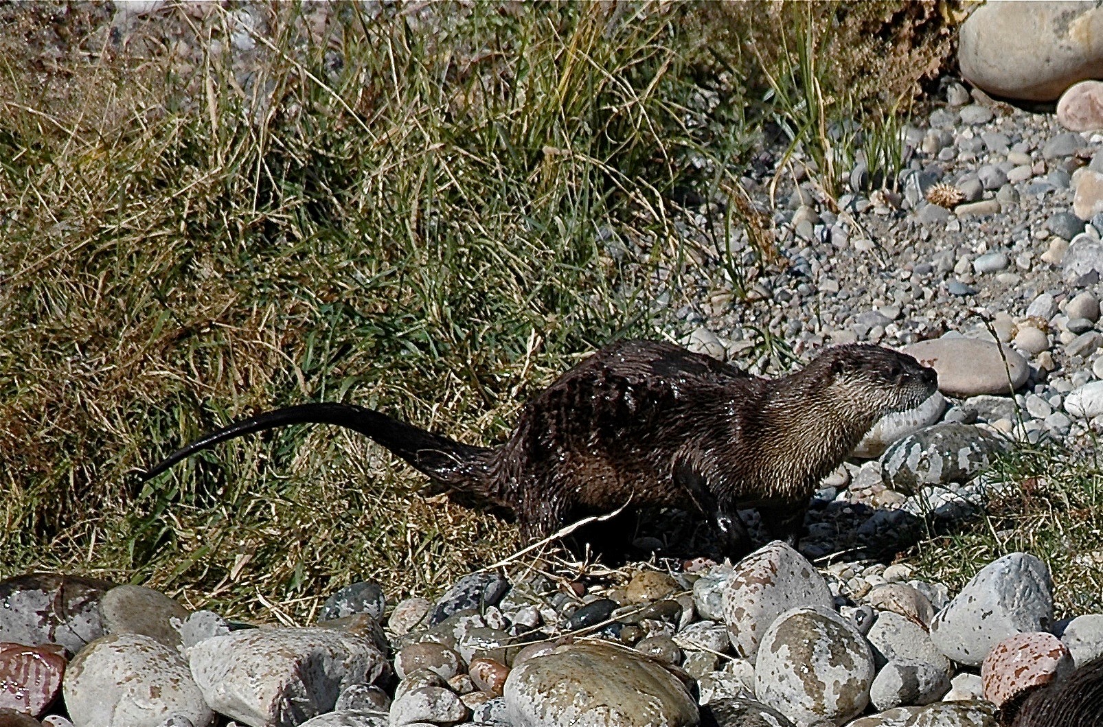
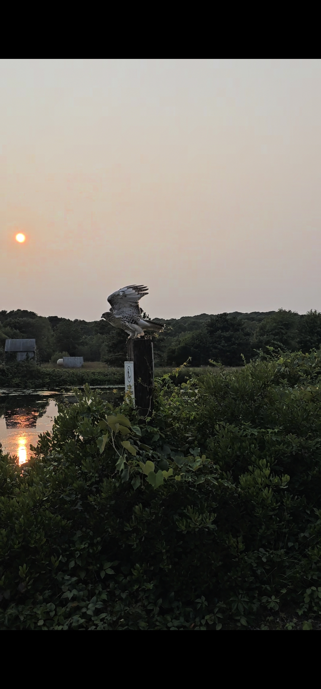
The Marstons Mills cranberry bogs aren’t just a home for cranberries — they’re a thriving habitat teeming with wildlife. From the water’s edge to the treetops, a diverse array of species calls this ecosystem home. River otters slip through the waterways, while muskrats and mink patrol the banks. Overhead, Cooper’s hawks and screech owls scan for prey, sharing the skies with great blue herons, mallards, and the occasional mute swan. The surrounding forests provide shelter for white-tailed deer, raccoons, and opossums, while coyotes quietly roam the landscape. Along the water, snapping turtles and painted turtles bask in the sun, coexisting with American wigeons, Canada geese, and crows. Frogs chorus from the bog’s edges, and snakes weave through the underbrush, playing their part in the delicate balance of this ecosystem. These bogs are a vital refuge for both resident and migratory species, creating a rich and dynamic environment that reflects the health of the land and water.
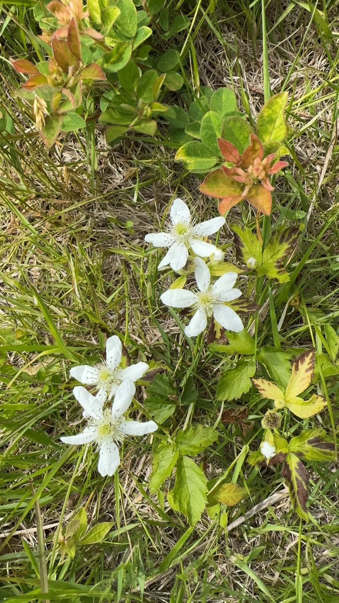
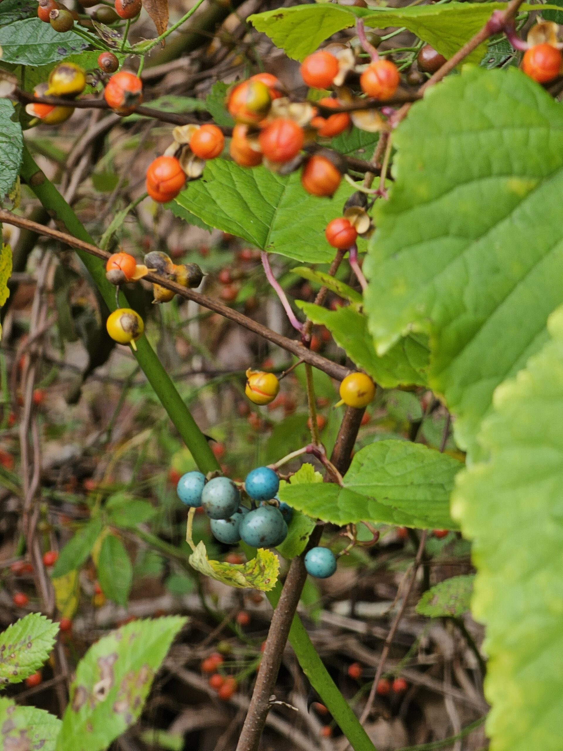
Additionally, cranberry bogs are more than just farmlands — they are dynamic ecosystems brimming with botanical diversity, including native, ornamental, and invasive species. Native plants like moisture-loving cattails, Joe Pye weed, and delicate wildflowers such as Virginia marsh St. John’s wort and white meadowsweet play vital ecological roles: stabilizing soils, filtering water, and providing food and habitat for wildlife.
Invasive species such as gray willow, Asiatic bittersweet, multiflora rose, phragmites, and Japanese knotweed, along with invasive ornamentals like porcelain berry and Magnolia liliiflora, reflect the historical and ongoing human influence on the landscape.
Hydrology
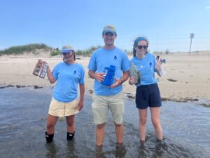
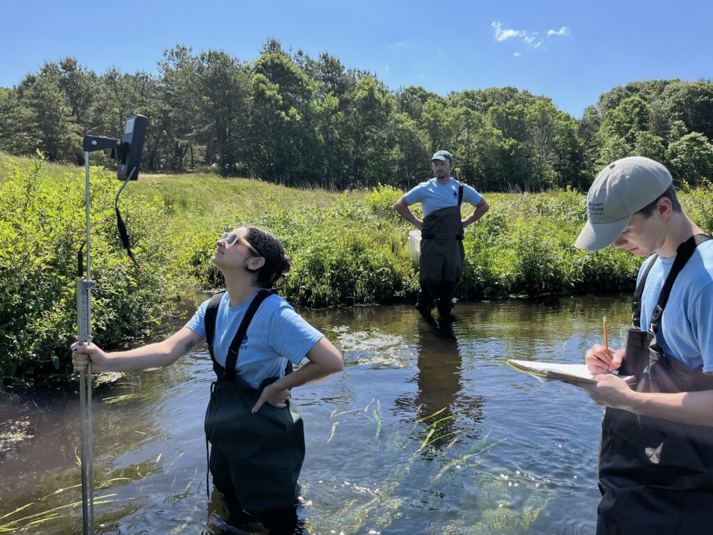
Since 2017, BCWC has been conducting weekly water quality monitoring along the Marstons Mills River. Luke Cadrin, our field operations manager, leads the effort collecting samples from 17 stations weekly and two additional stations monthly. These samples are sent to a laboratory for analysis of nutrients like nitrate (NO3-) and total Kjeldahl nitrogen (TKN). Additionally, on-site measurements of flow are collected. This rigorous monitoring provides a comprehensive picture of the water quality, establishing baseline conditions in order to assess the impact of future restoration efforts.
The Marstons Mills cranberry bog system is home to a significant amount of groundwater, where water is constantly being transported to the surface. The headwaters of the Marstons Mills River are formed from this upwelling into the bogs. This water flowing to the bog’s surface is loaded with nutrients from the thousands of septic systems surrounding the bogs.
This water is so nutrient laden with nitrogen that the cranberry farmer has reduced his use of fertilizer on the bogs for over a decade. Once water enters the bogs, it flows into the Marstons Mills River, which acts like a highway carrying nitrogen-rich water into the Three Bays estuary in about 6 hours. Nutrients traveling through the bogs make up approximately 35% of the excess nitrogen load flowing into the Three Bays estuary.
BCWC’s bogs could play a vital role in reducing the nitrogen load in our watershed.
Environmental Impacts
While nitrogen is a naturally occurring element essential for plant growth, human activity has drastically altered the nitrogen cycle, leading to widespread environmental degradation and public health risks.
On Cape Cod and in many other communities with traditional septic systems, excess nitrogen—especially in the form of nitrate (NO3- ) seeps from wastewater into groundwater, rivers, and coastal ecosystems. On Cape Cod, nitrogen-driven eutrophication has clouded estuaries, killed off eelgrass, and contributed to the decline of iconic species such as bay scallops.
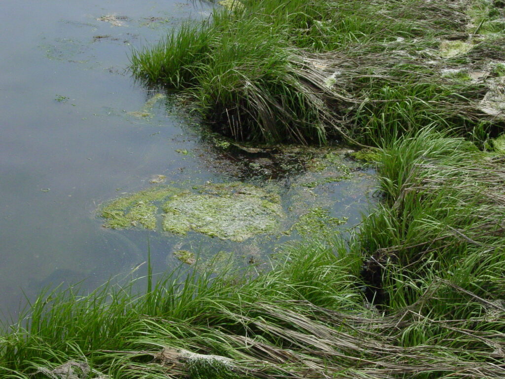
Eutrophication occurs when high levels of nitrogen enter freshwater and marine environments. The nitrogen acts as fertilizer— fueling the overgrowth of algae. This may seem harmless at first glance, but it throws delicate ecosystems off balance. As these algae die and decompose, they consume oxygen in the water, creating hypoxic or even anoxic zones — areas with little or no oxygen where fish, shellfish, and other aquatic organisms cannot survive. These so-called “dead zones” can disrupt food webs, decimate biodiversity, and cause long-term ecological collapse.
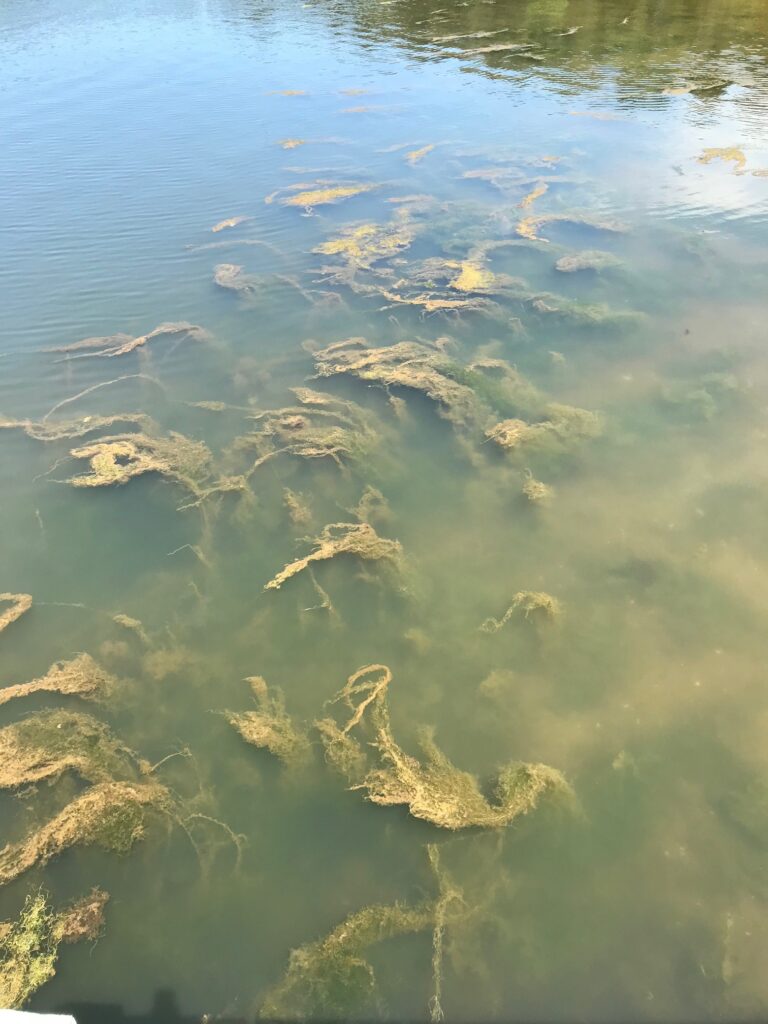
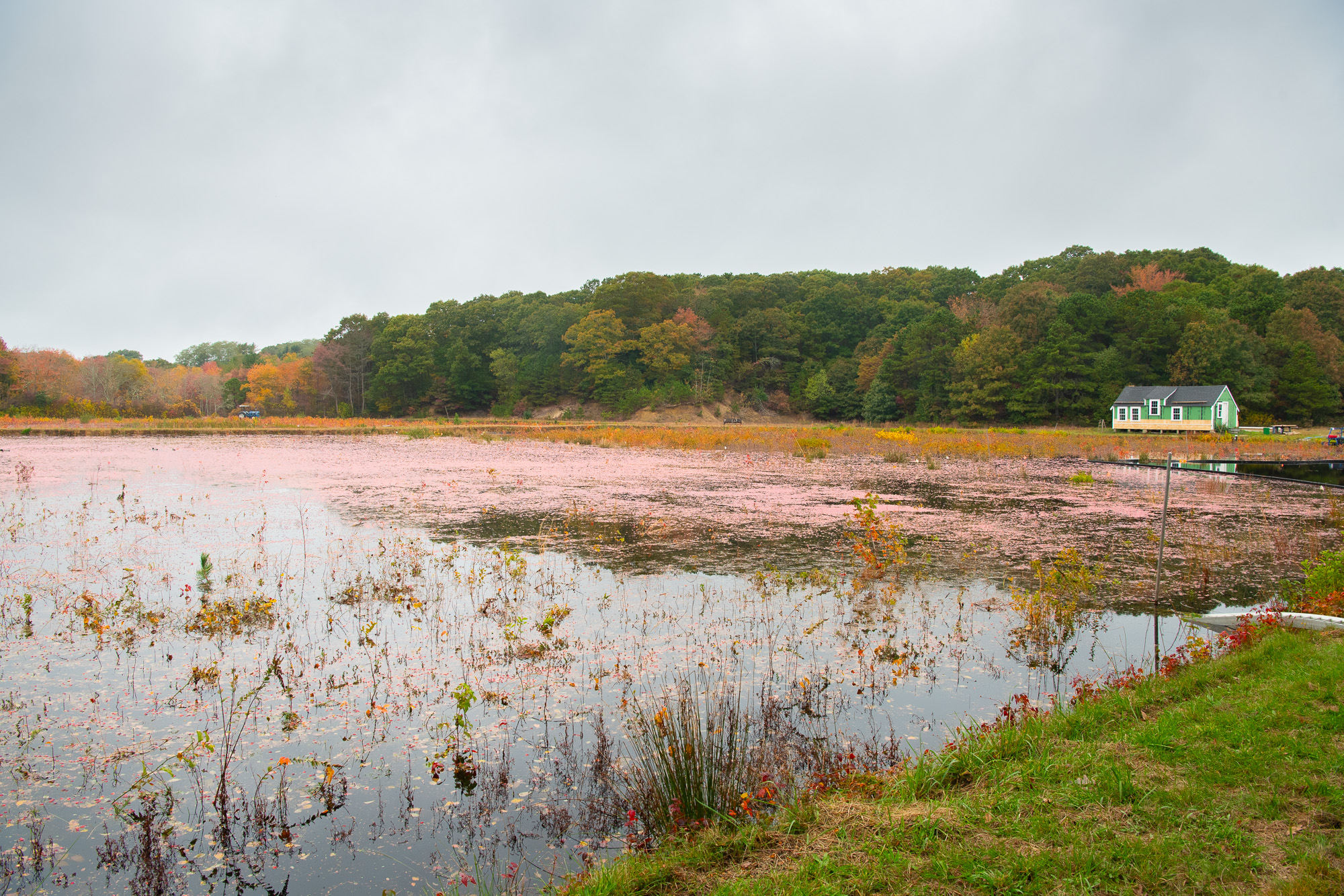
Macroalgae Mats in Prince Cove, Marstons Mills
Excess nitrates also pose a direct risk to human health, especially in areas where drinking water is drawn from wells. Public water systems are more heavily regulated, whereas private wells are often unmonitored, leaving residents unknowingly exposed. This underscores the importance of preventative strategies, like wetland restoration and advanced septic technologies, that stop nitrogen pollution at its source. Eco-restoration and nitrogen attenuation are key tools in restoring the balance and bringing these habitats back to life.
Eco-Restoration
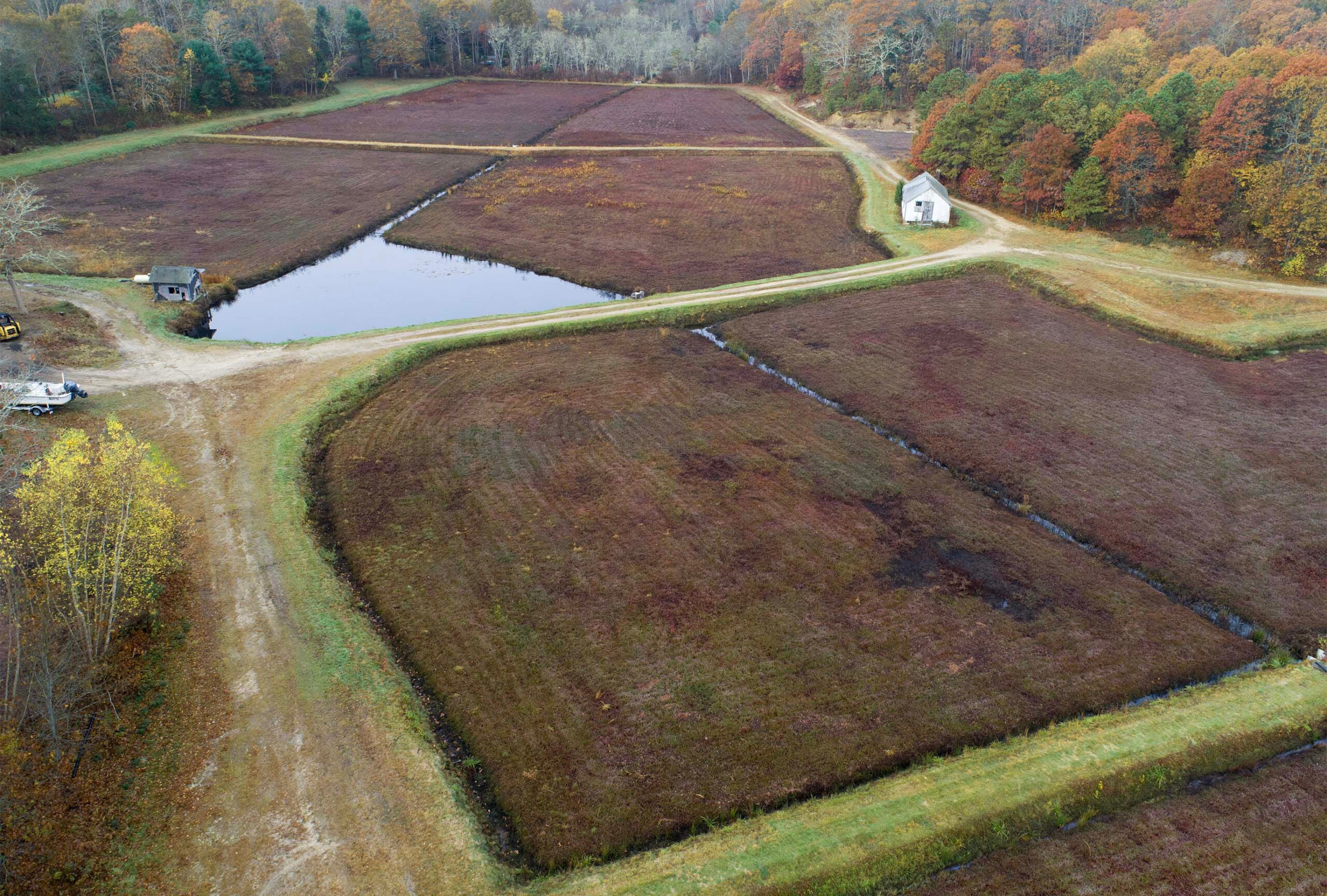
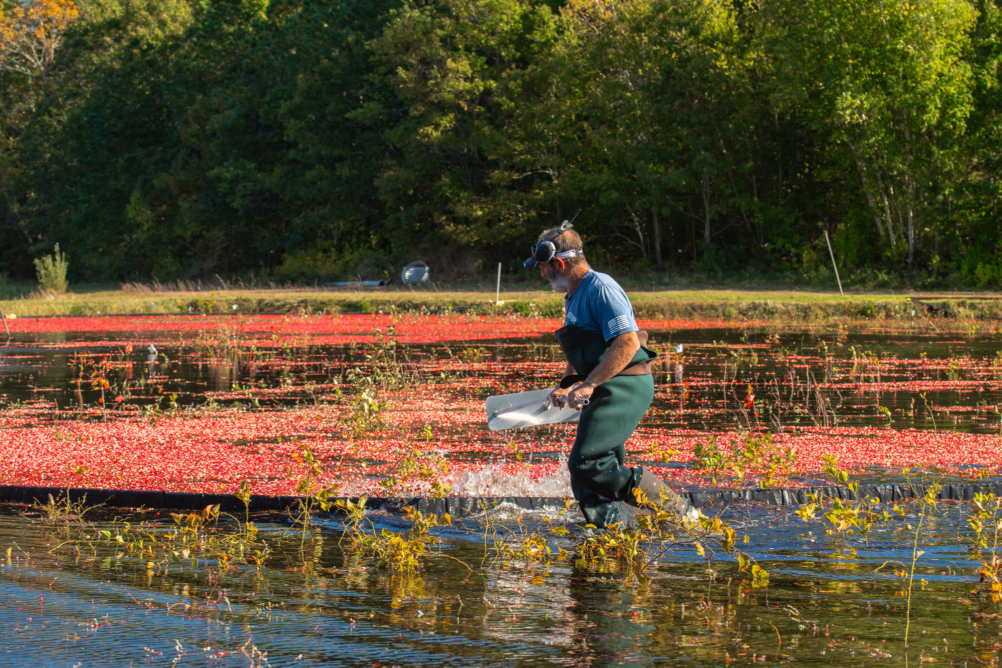
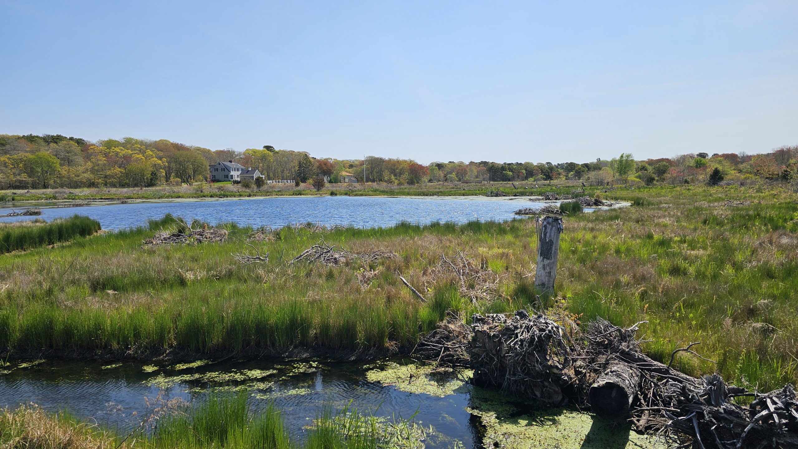
The Marstons Mills Cranberry Bog Eco-Restoration project aims to convert former cranberry farmland back into thriving natural wetland habitat. Located at the headwaters of the Marstons Mills River on Cape Cod, these bogs have long contributed to regional agriculture — but at the cost of ecosystem health and water quality. Now, with cranberry farming in decline, BCWC, in conjunction with partners, is restoring the land to reduce nitrogen pollution, enhance biodiversity, and improve the ecological function of the Three Bays watershed. This project combines land acquisition, hydrologic reengineering, and native plant reintroduction to support long-term environmental resilience.
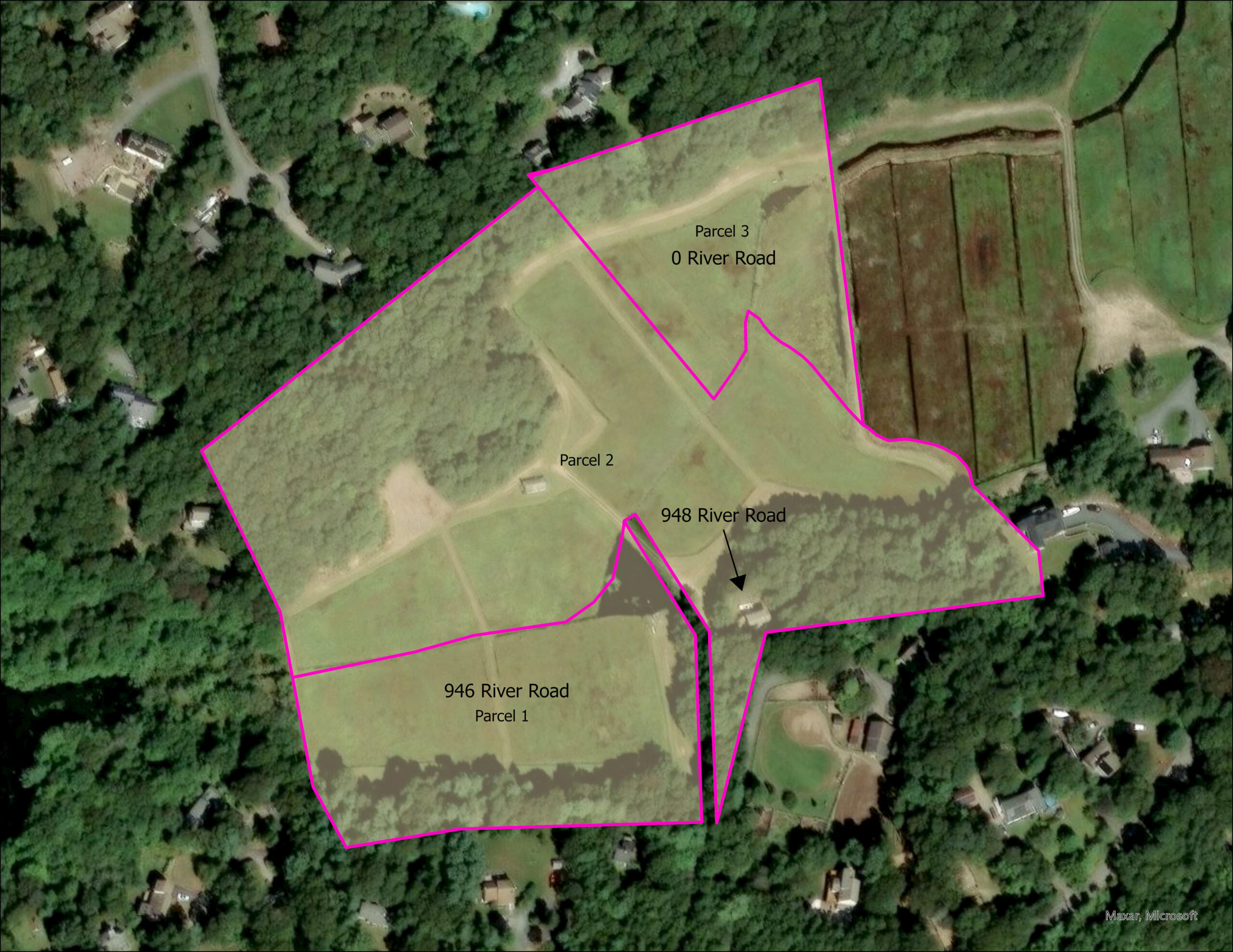
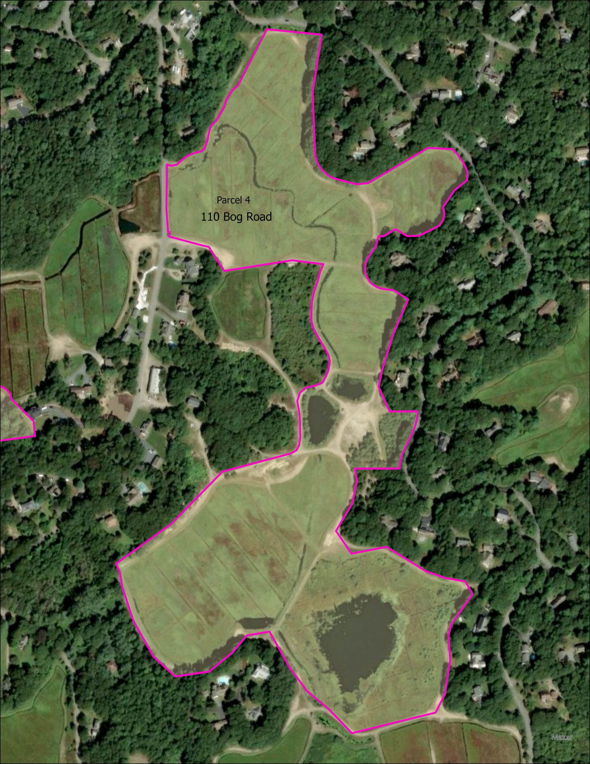
BCWC Land Acquisition
In 2023, BCWC purchased 17.17 acres of cranberry bogs and adjacent uplands along River Road, as well as an additional 46.92 acres of cranberry bogs and uplands along Bog Road, totaling 64.09 acres situated at the headwaters of the Marstons Mills River.
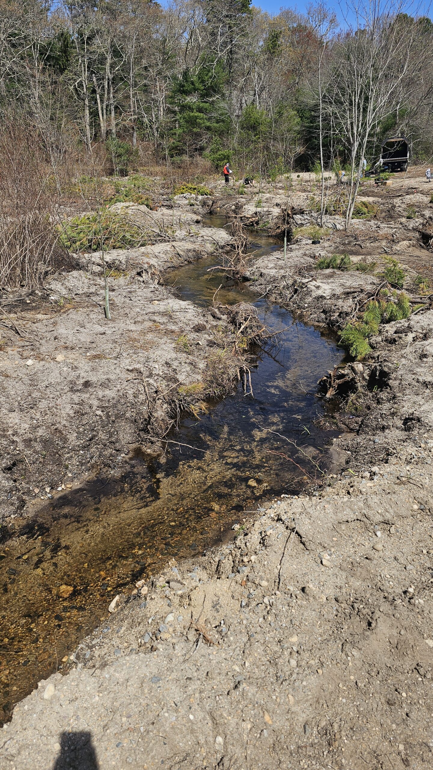
Straightened rivers can be restored to their natural paths to slow the flow, thereby increasing water retention time and reducing runoff, allowing for overall greater nitrogen removal. By removing barriers to natural flow, reintroducing meandering curves, and planting native vegetation along the banks, denitrification and nutrient uptake by plants and microbes can be enhanced.
Retention ponds and basins provide controlled areas for nitrogen attenuation while reducing the load on downstream ecosystems. These features act as settling areas where nitrogen-rich sediments can be deposited and later processed. By digging shallow ponds or basins, lining them with aquatic plants, one can create an overflow system designed to manage excess water during storms. Additionally, ponds passively promote microbial activity that help denitrify the water.
Native plants with high nutrient uptake rates can be reintroduced to key areas, such as riparian zones, or buffer strips. Hydrophytic – “water-loving”- plants like Typha (cattail), sedges (bullrush), and certain grasses absorb nitrogen directly from water and soil, reducing nutrient loads. Additionally, healthy root systems enhance soil stability, reduce erosion, promote filtration, and prevent invasive species from joining the vegetation mix.
One of the most remarkable features of bog restoration is the reawakening of the seed bank — millions of seeds buried beneath years of cranberry farming. Once restoration begins and the cap of sand is removed and the peat is exposed to oxygen and sun, these long-dormant seeds begin to germinate, allowing native species to recolonize and reshape the bog’s plant community naturally.
Nitrogen Attenuation Process
The ultimate goal of our restoration is to help attenuate nitrogen, preventing excess nutrients from entering the downstream Three Bays estuary. Nitrogen attenuation refers to the natural reduction of dissolved nitrogen as water moves through an ecosystem, often via processes like plant uptake, sedimentation, and microbial denitrification. Different landscapes exhibit varying rates of nitrogen attenuation with wetlands often achieving rates as high as 50%-70%.
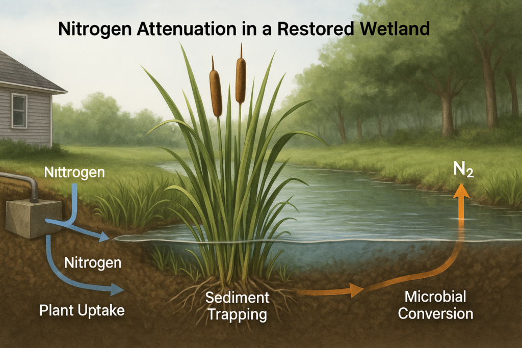
PLANT UPTAKE
Plant uptake is a key process in attenuating nitrogen in wetlands. They absorb nitrate (NO3- ) and ammonium (NH4+) through their roots and convert them into amino acids, nucleic acids, proteins, and chlorophyll. As plants grow, they store nitrogen in their tissues, helping remove it from the surrounding water and soil. Their dense roots also slow the flow of water, which supports microbial activity and sedimentation thus promoting the increased attenuation of nitrogen. Restored wetlands with native plants can greatly reduce nutrient pollution while boosting biodiversity.
SEDIMENTATION
Wetlands and ponds help nitrogen settle out of the water. As the flow of water slows down, nitrogen-rich particles like organic matter bind to sand or clay and sink to the bottom. Over time, this nitrogen gets buried and processed by microbes — or locked away in the sediment long-term. In constructed wetlands, plant roots help stabilize these sediments so that nitrogen stays sequestered and doesn’t get stirred back into the water.
MICROBIAL DENITRIFICATION
Microbes drive two key nitrogen processes: nitrification and denitrification. In oxygen-rich soil, bacteria like Nitrosomonas convert ammonia into nitrate. In oxygen-poor soil, with the addition of cellulosic material, bacteria like Pseudomonas convert nitrate into nitrogen gas, which escapes harmlessly into the atmosphere. Together, these microbes help wetlands naturally remove nitrogen and protect downstream ecosystems.